Datei:BlankMap-World-1970.png
Originaldatei (1.357 × 628 Pixel, Dateigröße: 48 KB, MIME-Typ: image/png)
![]()
Diese Datei und die Informationen unter dem roten Trennstrich werden aus dem zentralen Medienarchiv Wikimedia Commons eingebunden.
![]()

|
Dieses Bild des Typs Locator map sollte als Vektorgrafik im SVG-Format neu erstellt werden. Vektorformate haben zahlreiche Vorteile; weitere Information unter Commons:Media for cleanup. Wenn dir eine SVG-Version dieses Bildes vorliegt, so lade diese bitte hoch. Nach dem Hochladen der Datei ist diese Vorlage auf der aktuellen Bildbeschreibungsseite durch die Vorlage {{Vector version available}}, oder kürzer {{Vva}}, zu ersetzen. Es ist empfohlen die neue SVG-Datei „BlankMap-World-1970.svg“ zu nennen – dann benötigt die Vorlage vector version available (bzw. vva) keinen Parameter.
|
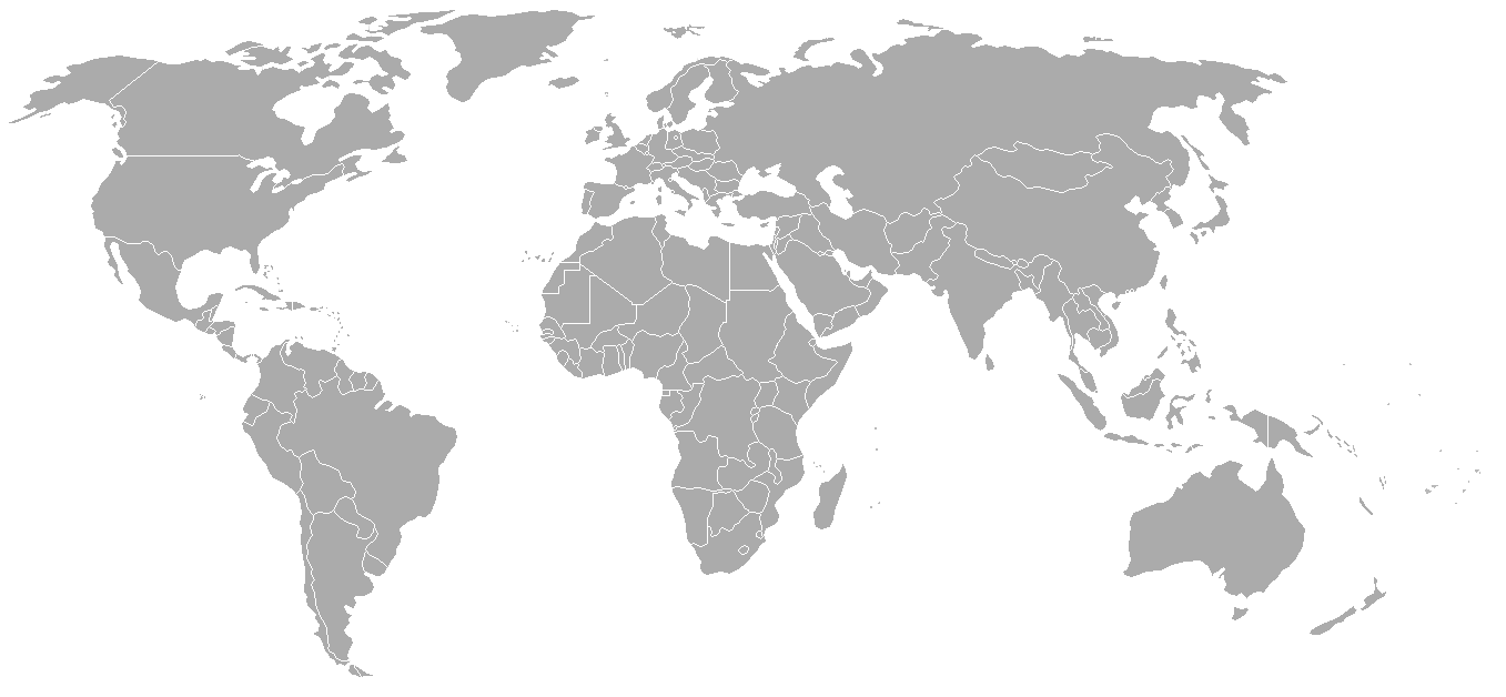
Beschreibung
Map of the world with 1970 borders. Differences with 1985 map include: Portuguese Timor separate from Indonesia, Sikkim independent from India, North and South Vietnam separate, Walvis Bay not part of South West Africa.
Should be accurate for the period between January 4, 1969 (Spain hands over Ifni to Morocco), December 18, 1969 (Saudi-Kuwaiti neutral zone partioned between Kuwait and Saudi Arabia), and May 16, 1975 (Sikkim becomes part of India). Further information see: List of national border changes since World War I
| Blank maps of the world for historical use | |
| pre-1800 | |
|
19th century | |
|
20th century | |
|
1902 · 1912 · 1914 · WWI · Aug 1918 · 1920 · 1921 · 1924 · 1926 · 1935 · 1937 · Mar 1938 · Oct 1938 · Mar 1939 · Oct 1939 · WWII · Nov 1942 · May 1945 · 1957 · 1959 · 1962 · 1968 · 1970 · 1985 · 1990 · 1993 | |
|
21st century | |
| (this template: · view · discuss ) | |
.PNG)
Lizenz

|
Es ist erlaubt, die Datei unter den Bedingungen der GNU-Lizenz für freie Dokumentation, Version 1.2 oder einer späteren Version, veröffentlicht von der Free Software Foundation, zu kopieren, zu verbreiten und/oder zu modifizieren; es gibt keine unveränderlichen Abschnitte, keinen vorderen und keinen hinteren Umschlagtext.
Der vollständige Text der Lizenz ist im Kapitel GNU-Lizenz für freie Dokumentation verfügbar. |
| Diese Datei ist unter der Creative-Commons-Lizenz „Namensnennung – Weitergabe unter gleichen Bedingungen 3.0 nicht portiert“ lizenziert. | ||
| ||
| Diese Lizenzmarkierung wurde auf Grund der GFDL-Lizenzaktualisierung hinzugefügt. |
| Bildnotizen | Diese Datei ist annotiert: Betrachte diese auf Commons. |
Dateiversionen
Klicke auf einen Zeitpunkt, um diese Version zu laden.
| Version vom | Vorschaubild | Maße | Benutzer | Kommentar | |
|---|---|---|---|---|---|
| aktuell | 04:50, 24. Sep. 2007 | | 1.357 × 628 (48 KB) | Hoshie | put the (N/S) Yemen boundary in white due to the fact the boundaries in southern Saudi Arabia have been disputed, undemarcated, or undisclosed over the years. |
| 03:22, 6. Aug. 2007 |  | 1.357 × 628 (48 KB) | Hoshie | added Cabinda, under same lic. as orginal. | |
| 04:59, 29. Jan. 2007 |  | 1.357 × 628 (48 KB) | Hoshie | added the Canal Zone | |
| 12:29, 28. Jan. 2007 |  | 1.357 × 628 (48 KB) | Hoshie | Saudi Arabia-Yemen boundry did not exist during this time. | |
| 11:02, 5. Jan. 2007 |  | 1.357 × 628 (48 KB) | Roke~commonswiki | Blank map of the world in 1970. Differences with 1985 map include: Portugese Timor separate from Indonesia, Sikkim independent from India, North and South Vietnam separate, Walvis Bay not part of South Africa. [[Categor |
Dateiverwendung
Die folgende Seite verwendet diese Datei:
Globale Dateiverwendung
Die nachfolgenden anderen Wikis verwenden diese Datei:
- Verwendung auf ca.wikipedia.org
- Verwendung auf es.wikipedia.org
- Verwendung auf fr.wikipedia.org
- Verwendung auf nl.wikipedia.org
- Verwendung auf zh.wikipedia.org