Datei:Northern Ghana districts.png
Originaldatei (1.056 × 816 Pixel, Dateigröße: 49 KB, MIME-Typ: image/png)
![]()
Diese Datei und die Informationen unter dem roten Trennstrich werden aus dem zentralen Medienarchiv Wikimedia Commons eingebunden.
![]()
Beschreibung
| Beschreibung |
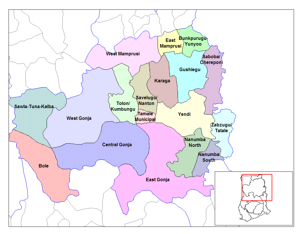
from en:districts of ghana Map of the districts of the Northern region of Ghana. Created by Rarelibra for public domain use. Created using MapInfo Professional v7.5 and various mapping resources.11 I, the creator of this work, hereby release it into the public domain. This applies worldwide. In case this is not legally possible, I grant any entity the right to use this work for any purpose, without any conditions, unless such conditions are required by law. File history |
| Datum | 28. Juni 2006 (Original-Hochladedatum) |
| Quelle | Die Autorenschaft wurde nicht in einer maschinell lesbaren Form angegeben. Es wird angenommen, dass es sich um ein eigenes Werk handelt (basierend auf den Rechteinhaber-Angaben). |
| Urheber | Die Autorenschaft wurde nicht in einer maschinell lesbaren Form angegeben. Es wird Ahanta als Autor angenommen (basierend auf den Rechteinhaber-Angaben). |
Lizenz
| Ich, der Urheberrechtsinhaber dieses Werkes, veröffentliche es als gemeinfrei. Dies gilt weltweit. In manchen Staaten könnte dies rechtlich nicht möglich sein. Sofern dies der Fall ist: Ich gewähre jedem das bedingungslose Recht, dieses Werk für jedweden Zweck zu nutzen, es sei denn, Bedingungen sind gesetzlich erforderlich. |
Dateiversionen
Klicke auf einen Zeitpunkt, um diese Version zu laden.
| Version vom | Vorschaubild | Maße | Benutzer | Kommentar | |
|---|---|---|---|---|---|
| aktuell | 12:53, 28. Jun. 2006 | | 1.056 × 816 (49 KB) | Ahanta | from en:districts of ghana Map of the districts of the Northern region of Ghana. Created by Rarelibra for public domain use. Created using MapInfo Professional v7.5 and various mapping resources. I, the creator of this work, hereby release it into the p |
Dateiverwendung
Die folgenden 2 Seiten verwenden diese Datei:
Globale Dateiverwendung
Die nachfolgenden anderen Wikis verwenden diese Datei:
- Verwendung auf ca.wikipedia.org
- Verwendung auf ceb.wikipedia.org
- Verwendung auf dag.wikipedia.org
- Verwendung auf da.wikipedia.org
- Verwendung auf dga.wikipedia.org
- Verwendung auf en.wikipedia.org
- Tolon-Kumbungu District
- Zabzugu-Tatale District
- User talk:Rarelibra/Maps2
- List of hospitals in Ghana
- List of Ghana Parliament constituencies
- Yendi Municipal District
- User:GerardM/Districts of Ghana
- Bunkpurugu-Yunyoo District
- Saboba-Chereponi District
- Nanumba District
- Gushegu-Karaga District
- Mamprusi District
- West Dagomba District
- East Dagomba District
- Verwendung auf es.wikipedia.org
- Verwendung auf fa.wikipedia.org
- Verwendung auf fr.wikipedia.org
- Verwendung auf gpe.wikipedia.org
Weitere globale Verwendungen dieser Datei anschauen.