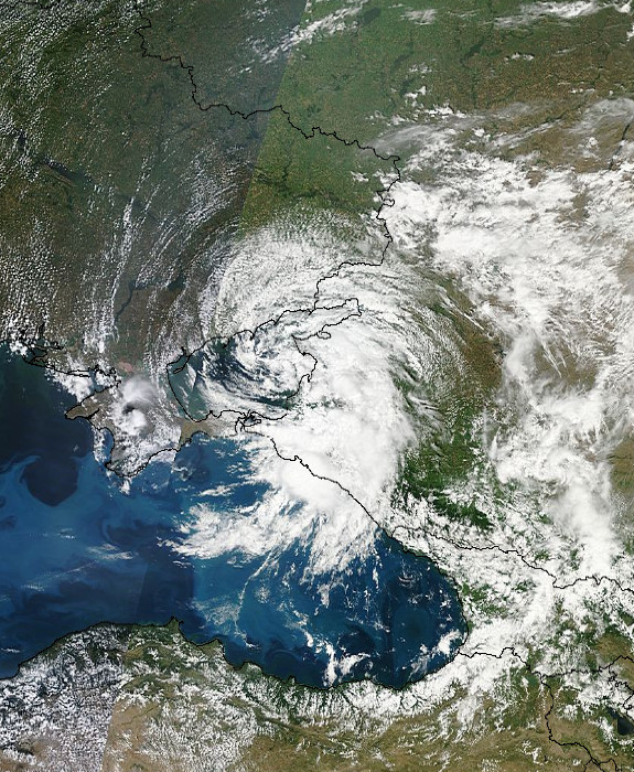
Datei:Satellite image of Russia's Krasnodar region along the northeast coast of the Black Sea.jpg
Zur Navigation springen
Zur Suche springen
Größe dieser Vorschau: 492 × 599 Pixel. Weitere Auflösungen: 197 × 240 Pixel | 575 × 700 Pixel
Originaldatei (575 × 700 Pixel, Dateigröße: 479 KB, MIME-Typ: image/jpeg)
![]()
Diese Datei und die Informationen unter dem roten Trennstrich werden aus dem zentralen Medienarchiv Wikimedia Commons eingebunden.
![]()
Beschreibung
| Kameraposition | | Dieses und weitere Bilder auf OpenStreetMap |
|---|
| Beschreibung | |
| Datum | |
| Quelle |
NASA EOSDIS LANCE-MODIS http://lance-modis.eosdis.nasa.gov/imagery/ |
| Urheber | NOAA / Goddard Space Center |
Lizenz
| Diese Datei ist gemeinfrei (public domain), da sie von der NASA erstellt worden ist. Die NASA-Urheberrechtsrichtlinie besagt, dass „NASA-Material nicht durch Urheberrecht geschützt ist, wenn es nicht anders angegeben ist“. (NASA-Urheberrechtsrichtlinie-Seite oder JPL Image Use Policy). | ||
 |
Warnung:
|
Dateiversionen
Klicke auf einen Zeitpunkt, um diese Version zu laden.
| Version vom | Vorschaubild | Maße | Benutzer | Kommentar | |
|---|---|---|---|---|---|
| aktuell | 09:49, 10. Jul. 2012 | | 575 × 700 (479 KB) | W!B: |
Dateiverwendung
Die folgende Seite verwendet diese Datei:
Globale Dateiverwendung
Die nachfolgenden anderen Wikis verwenden diese Datei:
- Verwendung auf el.wikipedia.org
- Verwendung auf en.wikipedia.org
- Verwendung auf ka.wikipedia.org
- Verwendung auf ru.wikipedia.org
- Verwendung auf uk.wikipedia.org