Datei:Savoie department location map.svg
Zur Navigation springen
Zur Suche springen

Größe der PNG-Vorschau dieser SVG-Datei: 714 × 600 Pixel. Weitere aus SVG automatisch erzeugte PNG-Grafiken in verschiedenen Auflösungen: 286 × 240 Pixel | 572 × 480 Pixel | 915 × 768 Pixel | 1.220 × 1.024 Pixel | 2.439 × 2.048 Pixel | 1.104 × 927 Pixel
Originaldatei (SVG-Datei, Basisgröße: 1.104 × 927 Pixel, Dateigröße: 164 KB)
![]()
Diese Datei und die Informationen unter dem roten Trennstrich werden aus dem zentralen Medienarchiv Wikimedia Commons eingebunden.
![]()
Beschreibung
| Kameraposition | | Dieses und weitere Bilder auf OpenStreetMap |
|---|
| Beschreibung |
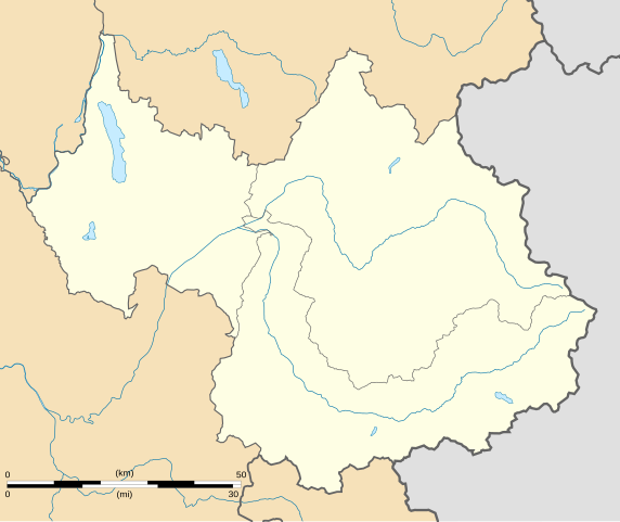
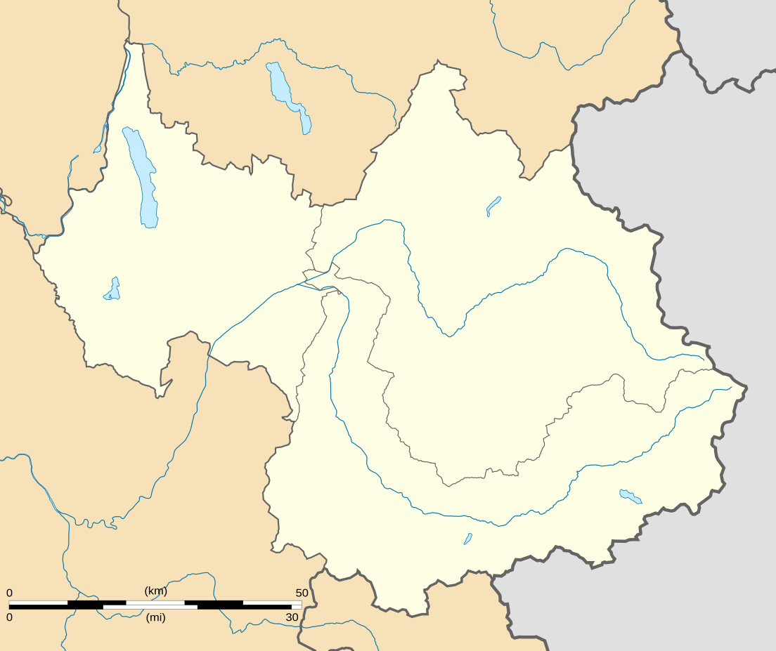
English: Blank administrative map of the department of Savoie, France, for geo-location purpose.
Scale : 1:800,000 (precision : 200 m) Français : Carte administrative vierge du département de la Savoie, France, destinée à la géolocalisation.
Échelle : 1:800 000 (précision : 200 m) Equirectangular projection, WGS84 datum
Geographic limits of the map :
|
||
| Datum | |||
| Quelle |
Eigenes Werk
|
||
| Urheber | Eric Gaba (Sting - fr:Sting) | ||
| Genehmigung (Weiternutzung dieser Datei) |
|
||
| Andere Versionen |
Abgeleitete Werke dieser Datei: Territoires de la Savoie (CG73).PNG
|

.PNG)
Lizenz
Ich, der Urheberrechtsinhaber dieses Werkes, veröffentliche es hiermit unter der folgenden Lizenz:
Diese Datei ist unter der Creative-Commons-Lizenz „Namensnennung – Weitergabe unter gleichen Bedingungen 3.0 nicht portiert“ lizenziert.
- Dieses Werk darf von dir
- verbreitet werden – vervielfältigt, verbreitet und öffentlich zugänglich gemacht werden
- neu zusammengestellt werden – abgewandelt und bearbeitet werden
- Zu den folgenden Bedingungen:
- Namensnennung – Du musst angemessene Urheber- und Rechteangaben machen, einen Link zur Lizenz beifügen und angeben, ob Änderungen vorgenommen wurden. Diese Angaben dürfen in jeder angemessenen Art und Weise gemacht werden, allerdings nicht so, dass der Eindruck entsteht, der Lizenzgeber unterstütze gerade dich oder deine Nutzung besonders.
- Weitergabe unter gleichen Bedingungen – Wenn du das Material wiedermischst, transformierst oder darauf aufbaust, musst du deine Beiträge unter der gleichen oder einer kompatiblen Lizenz wie das Original verbreiten.

|
Es ist erlaubt, die Datei unter den Bedingungen der GNU-Lizenz für freie Dokumentation, Version 1.2 oder einer späteren Version, veröffentlicht von der Free Software Foundation, zu kopieren, zu verbreiten und/oder zu modifizieren; es gibt keine unveränderlichen Abschnitte, keinen vorderen und keinen hinteren Umschlagtext.
Der vollständige Text der Lizenz ist im Kapitel GNU-Lizenz für freie Dokumentation verfügbar. |
Du darfst es unter einer der obigen Lizenzen deiner Wahl verwenden.
Dateiversionen
Klicke auf einen Zeitpunkt, um diese Version zu laden.
| Version vom | Vorschaubild | Maße | Benutzer | Kommentar | |
|---|---|---|---|---|---|
| aktuell | 03:07, 4. Sep. 2008 | | 1.104 × 927 (164 KB) | Sting | Color of the lakes |
| 02:19, 5. Aug. 2008 |  | 1.104 × 927 (164 KB) | Sting | More precise boundaries | |
| 20:53, 30. Jul. 2008 |  | 1.104 × 927 (124 KB) | Sting | + rivers ; int. boundary passing on top of Mont Blanc | |
| 20:06, 25. Jul. 2008 |  | 1.104 × 927 (74 KB) | Sting | - border | |
| 01:40, 20. Jul. 2008 |  | 1.104 × 927 (77 KB) | Sting | == Summary == {{Location|45|30|00|N|06|24|00|E|scale:1000000}} <br/> {{Information |Description={{en|Blank map of the department of Savoie, France, for geo-location purpose.<br/>Scale : 1:800,000 (precision : 200 m)}} {{fr|Carte vierge du d |
Dateiverwendung
Die folgenden 4 Seiten verwenden diese Datei:
Globale Dateiverwendung
Die nachfolgenden anderen Wikis verwenden diese Datei:
- Verwendung auf als.wikipedia.org
- Verwendung auf ar.wikipedia.org
- Verwendung auf ban.wikipedia.org
- Verwendung auf bs.wikipedia.org
- Verwendung auf ceb.wikipedia.org
- Verwendung auf cs.wikipedia.org
- Verwendung auf da.wikipedia.org
- Verwendung auf el.wikipedia.org
- Verwendung auf en.wikipedia.org
- Lac du Bourget
- Vanoise National Park
- Lac de Lessy
- Lac de Tignes
- Lac d'Aiguebelette
- Lac des Évettes
- Wikipedia:WikiProject Maps/Conventions/Location maps
- Courchevel Altiport
- Talk:Battle of Kursk/Archive 2
- Molard Noir
- Wikipedia talk:WikiProject Maps/Archive 2009
- Le Chabichou
- Module:Location map/data/France Savoie/doc
- Module:Location map/data/France Savoie
- Wikipedia:WikiProject Maps/Conventions/Location maps (series N)
- Verwendung auf eo.wikipedia.org
- Montmélian
- Peisey-Nancroix
- La Chapelle (Savoie)
- Frontenex
- Ŝablono:Situo sur mapo Francio Savoie
- Bourg-Saint-Maurice
- Saint-Jean-de-Maurienne
- La Motte-Servolex
- Modane
- Tignes
- Valloire
- Bourg-Saint-Maurice (stacidomo)
- Aiguebelette-le-Lac
- Aillon-le-Jeune
- Aillon-le-Vieux
- Aime-la-Plagne
- Aiton (Savoie)
- Albiez-le-Jeune
- Albiez-Montrond
- Allondaz
- Les Allues
- Apremont (Savoie)
- Arbin
- Arith
- Attignat-Oncin
- Les Avanchers-Valmorel
Weitere globale Verwendungen dieser Datei anschauen.