Datei:Assateague Island aerial view.jpg
Zur Navigation springen
Zur Suche springen

Größe dieser Vorschau: 800 × 534 Pixel. Weitere Auflösungen: 320 × 214 Pixel | 640 × 427 Pixel | 1.024 × 683 Pixel | 1.500 × 1.001 Pixel
Originaldatei (1.500 × 1.001 Pixel, Dateigröße: 593 KB, MIME-Typ: image/jpeg)
![]()
Diese Datei und die Informationen unter dem roten Trennstrich werden aus dem zentralen Medienarchiv Wikimedia Commons eingebunden.
![]()
| Beschreibung |
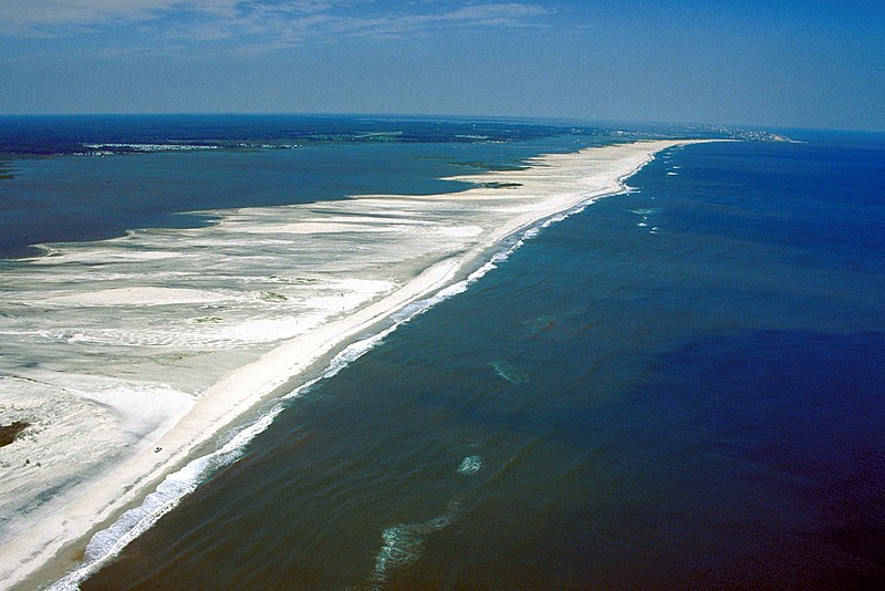
English: Aerial view of Assateague Island on the Atlantic Ocean in Maryland, USA.
|
|||
| Datum | ||||
| Quelle |
U.S. Army Corps of Engineers Digital Visual Library Image page Image description page Digital Visual Library home page |
|||
| Urheber | Susanne Bledsoe, U.S. Army Corps of Engineers | |||
| Genehmigung (Weiternutzung dieser Datei) |
|
|||
| Ort | Assateague Island, Worcester County, Maryland, USA |
| Kameraposition | | Dieses und weitere Bilder auf OpenStreetMap |
|---|
Dateiversionen
Klicke auf einen Zeitpunkt, um diese Version zu laden.
| Version vom | Vorschaubild | Maße | Benutzer | Kommentar | |
|---|---|---|---|---|---|
| aktuell | 03:02, 8. Apr. 2007 | | 1.500 × 1.001 (593 KB) | DanMS | {{Information | Description = {{en|Aerial view of Assateague Island on the Atlantic Ocean in Maryland, USA. The photograph shows the erosion to the beaches due to Atlantic storms. In the far distance at the top right is Ocean City, Maryland.}} | |
Dateiverwendung
Die folgende Seite verwendet diese Datei:
Globale Dateiverwendung
Die nachfolgenden anderen Wikis verwenden diese Datei:
- Verwendung auf en.wikipedia.org
- Verwendung auf es.wikipedia.org
- Verwendung auf fa.wikipedia.org
- Verwendung auf fr.wikipedia.org
- Verwendung auf gl.wikipedia.org
- Verwendung auf ko.wikipedia.org
- Verwendung auf tr.wikipedia.org
- Verwendung auf uk.wikipedia.org