Datei:Blank map of Europe in 1920.svg
Zur Navigation springen
Zur Suche springen

Größe der PNG-Vorschau dieser SVG-Datei: 689 × 600 Pixel. Weitere aus SVG automatisch erzeugte PNG-Grafiken in verschiedenen Auflösungen: 276 × 240 Pixel | 552 × 480 Pixel | 882 × 768 Pixel | 1.177 × 1.024 Pixel | 2.353 × 2.048 Pixel | 841 × 732 Pixel
Originaldatei (SVG-Datei, Basisgröße: 841 × 732 Pixel, Dateigröße: 541 KB)
![]()
Diese Datei und die Informationen unter dem roten Trennstrich werden aus dem zentralen Medienarchiv Wikimedia Commons eingebunden.
![]()
| Beschreibung |
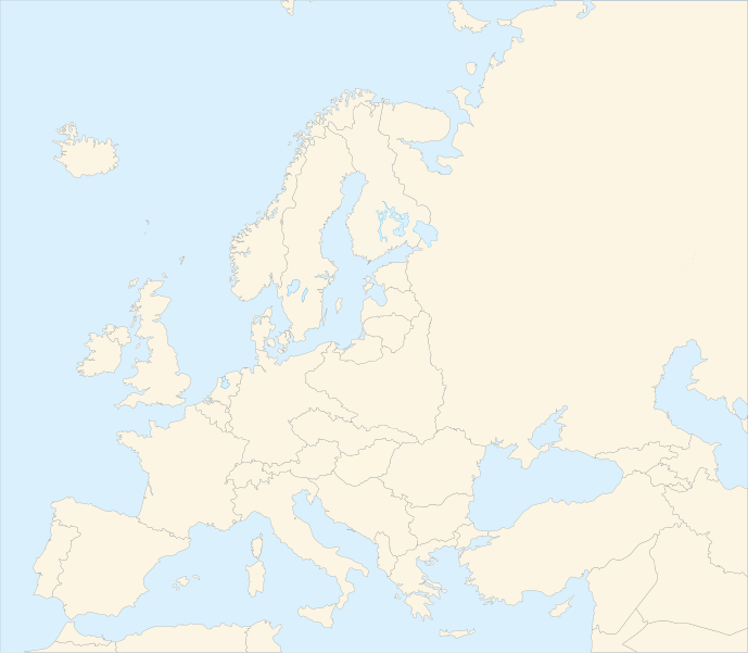
Français : Carte vierge de l'Europe en 1920, couleurs Atelier Graphique English: Blank map of Europe in 1920 with Atelier graphique colors |
| Datum | (UTC) |
| Quelle | |
| Urheber |
|
| Andere Versionen |
Abgeleitete Werke dieser Datei: |
| Dieses Bild wurde digital nachbearbeitet. Folgende Änderungen wurden vorgenommen: shifted borders to 1920. Das Originalbild kann hier eingesehen werden: Blank map of Europe - Atelier graphique colors.svg:
|

Diese Datei ist unter der Creative-Commons-Lizenz „Namensnennung – Weitergabe unter gleichen Bedingungen 3.0 nicht portiert“ lizenziert.
- Dieses Werk darf von dir
- verbreitet werden – vervielfältigt, verbreitet und öffentlich zugänglich gemacht werden
- neu zusammengestellt werden – abgewandelt und bearbeitet werden
- Zu den folgenden Bedingungen:
- Namensnennung – Du musst angemessene Urheber- und Rechteangaben machen, einen Link zur Lizenz beifügen und angeben, ob Änderungen vorgenommen wurden. Diese Angaben dürfen in jeder angemessenen Art und Weise gemacht werden, allerdings nicht so, dass der Eindruck entsteht, der Lizenzgeber unterstütze gerade dich oder deine Nutzung besonders.
- Weitergabe unter gleichen Bedingungen – Wenn du das Material wiedermischst, transformierst oder darauf aufbaust, musst du deine Beiträge unter der gleichen oder einer kompatiblen Lizenz wie das Original verbreiten.

|
Diese SVG-Datei enthält eingebetteten Text, der mit jedem geeigneten SVG-Editor, Texteditor oder dem SVG-Übersetzungs-Werkzeug in deine Sprache übersetzt werden kann. Für mehr Informationen siehe Über das Übersetzen von SVG-Dateien. |
Ursprüngliches Datei-Logbuch
This image is a derivative work of the following images:
- Image:Blank_map_of_Europe_-_Atelier_graphique_colors.svg licensed with Cc-by-sa-2.5,2.0,1.0, GFDL
- 2007-09-16T15:08:27Z Historicair 841x731 (495651 Bytes) '
- 2007-09-13T16:36:42Z Historicair 841x731 (495370 Bytes) {{Information |Description={{fr|Carte vierge de l'Europe, couleurs Atelier Graphique}} {{en|Blank map of Europe with Atelier graphique colors}} |Source=[[:Image:Europe countries.svg]] by [[User:Tintazul|Tintazul]] |Date=13/09
Hochgeladen mit derivativeFX
Dateiversionen
Klicke auf einen Zeitpunkt, um diese Version zu laden.
| Version vom | Vorschaubild | Maße | Benutzer | Kommentar | |
|---|---|---|---|---|---|
| aktuell | 06:42, 20. Aug. 2010 | | 841 × 732 (541 KB) | Editor at Large | Reverted to version as of 16:11, 23 June 2008 - error in file |
| 03:30, 20. Aug. 2010 |  | 689 × 600 (2 KB) | Maps & Lucy | Fixed serious error with Baltic Sea on the German border with it, fixed the border of Germany with Poland, fixed the border of Poland with the Russian SFSR, and corrected the assimulation of three southern Caucasus countries which had been assimulated int | |
| 18:11, 23. Jun. 2008 |  | 841 × 732 (541 KB) | Themightyquill | ||
| 17:46, 16. Jun. 2008 |  | 841 × 732 (534 KB) | Themightyquill | ||
| 17:27, 16. Jun. 2008 |  | 841 × 732 (531 KB) | Themightyquill | ||
| 04:32, 16. Jun. 2008 |  | 841 × 732 (562 KB) | Themightyquill | {{Information |Description={{fr|Carte vierge de l'Europe en 1920, couleurs Atelier Graphique}} {{en|Blank map of Europe in 1920 with Atelier graphique colors}} |Source=*Image:Blank_map_of_Europe_-_Atelier_graphique_colors.svg |Date=2008-06-16 02:31 |
Dateiverwendung
Keine Seiten verwenden diese Datei.
Globale Dateiverwendung
Die nachfolgenden anderen Wikis verwenden diese Datei:
- Verwendung auf cs.wikipedia.org
- Verwendung auf en.wikipedia.org
- Verwendung auf fr.wikipedia.org