Datei:Granada-loc.svg
Zur Navigation springen
Zur Suche springen

Größe der PNG-Vorschau dieser SVG-Datei: 512 × 452 Pixel. Weitere aus SVG automatisch erzeugte PNG-Grafiken in verschiedenen Auflösungen: 272 × 240 Pixel | 544 × 480 Pixel | 870 × 768 Pixel | 1.160 × 1.024 Pixel | 2.320 × 2.048 Pixel
Originaldatei (SVG-Datei, Basisgröße: 512 × 452 Pixel, Dateigröße: 490 KB)
![]()
Diese Datei und die Informationen unter dem roten Trennstrich werden aus dem zentralen Medienarchiv Wikimedia Commons eingebunden.
![]()
Beschreibung
| Beschreibung |
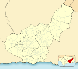
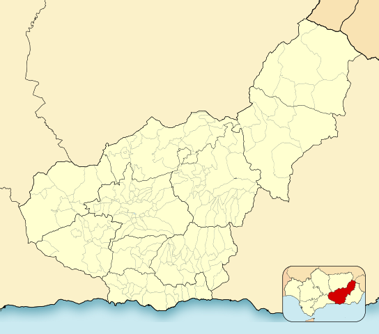
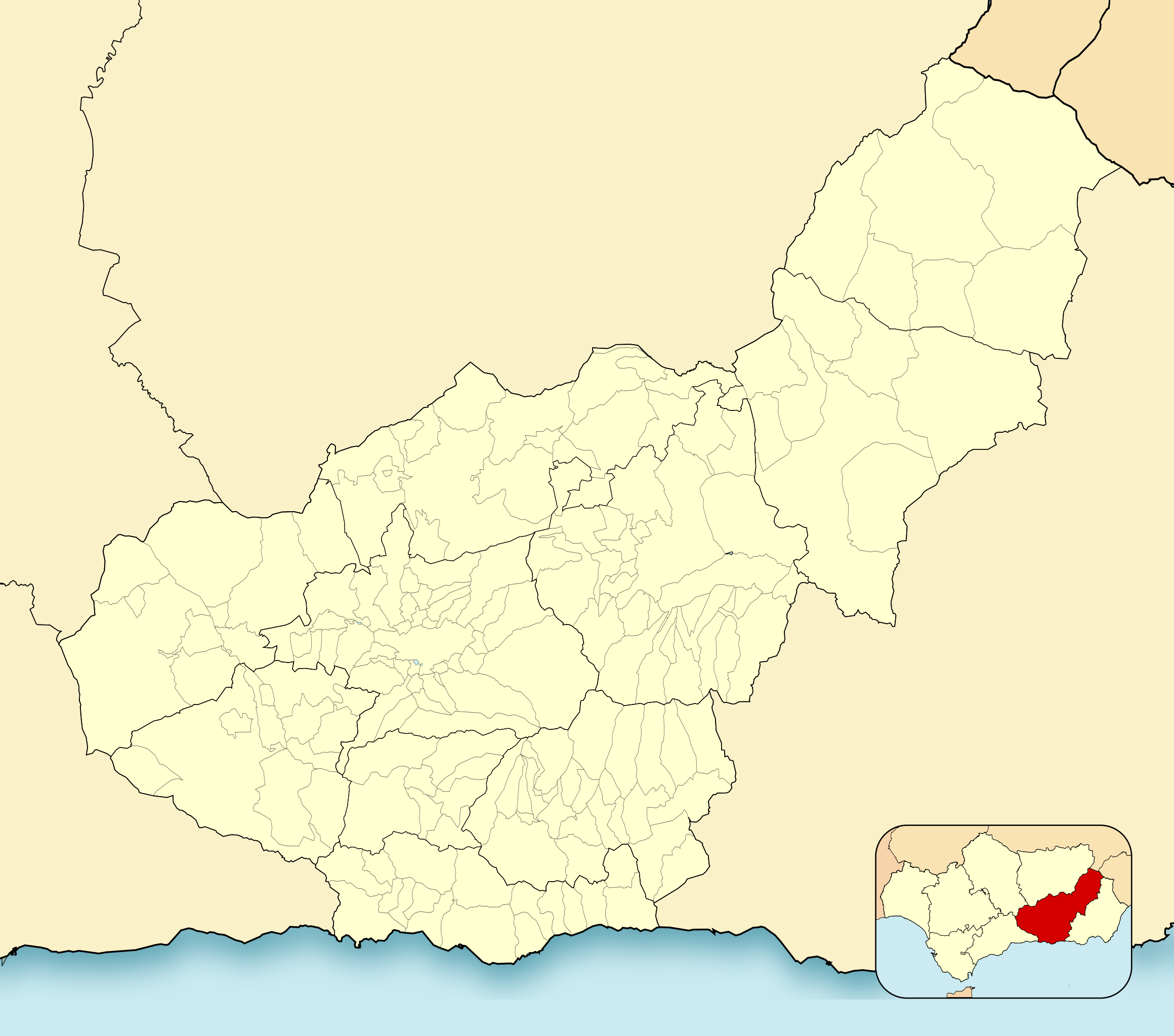
English: Location map of Province of Granada
Equirectangular projection, N/S stretching 130 %. Geographic limits of the map:
Español: Mapa de localización de la Provincia de Granada
Proyección equirrectangular, N/S estirada 130 %. Límites geográficos del mapa:
|
|
| Datum | ||
| Quelle | Eigenes Werk, basierend auf: EspañaLoc.svg von HansenBCN | |
| Urheber | Miguillen | |
| SVG‑Erstellung |
|
Lizenz
Miguillen, der Nutzungsrechtsinhaber dieses Werkes, veröffentlicht es hiermit unter der folgenden Lizenz:
Diese Datei ist unter der Creative-Commons-Lizenz „Namensnennung – Weitergabe unter gleichen Bedingungen 3.0 nicht portiert“ lizenziert.
Namensnennung: Miguillen
- Dieses Werk darf von dir
- verbreitet werden – vervielfältigt, verbreitet und öffentlich zugänglich gemacht werden
- neu zusammengestellt werden – abgewandelt und bearbeitet werden
- Zu den folgenden Bedingungen:
- Namensnennung – Du musst angemessene Urheber- und Rechteangaben machen, einen Link zur Lizenz beifügen und angeben, ob Änderungen vorgenommen wurden. Diese Angaben dürfen in jeder angemessenen Art und Weise gemacht werden, allerdings nicht so, dass der Eindruck entsteht, der Lizenzgeber unterstütze gerade dich oder deine Nutzung besonders.
- Weitergabe unter gleichen Bedingungen – Wenn du das Material wiedermischst, transformierst oder darauf aufbaust, musst du deine Beiträge unter der gleichen oder einer kompatiblen Lizenz wie das Original verbreiten.
Dateiversionen
Klicke auf einen Zeitpunkt, um diese Version zu laden.
| Version vom | Vorschaubild | Maße | Benutzer | Kommentar | |
|---|---|---|---|---|---|
| aktuell | 22:52, 2. Jan. 2023 | | 512 × 452 (490 KB) | Lopezsuarez | Reverted to version as of 14:26, 6 April 2022 (UTC) |
| 22:51, 2. Jan. 2023 |  | 512 × 452 (490 KB) | Lopezsuarez | Reverted to version as of 16:02, 9 December 2010 (UTC) | |
| 16:26, 6. Apr. 2022 |  | 512 × 452 (490 KB) | Lopezsuarez | Reverted to version as of 16:04, 9 December 2010 (UTC) | |
| 13:38, 4. Apr. 2022 |  | 512 × 452 (1,55 MB) | NACLE | quito el marco | |
| 13:35, 4. Apr. 2022 |  | 512 × 452 (1,57 MB) | NACLE | añado nuevos municipios | |
| 18:04, 9. Dez. 2010 |  | 512 × 452 (490 KB) | Miguillen | defecto | |
| 18:02, 9. Dez. 2010 |  | 512 × 452 (490 KB) | Miguillen | colores y mosca según convención | |
| 17:27, 14. Aug. 2010 |  | 512 × 452 (390 KB) | Miguillen | marco | |
| 12:03, 20. Mai 2010 |  | 512 × 452 (356 KB) | Miguillen | efecto trazo | |
| 12:21, 19. Mai 2010 |  | 512 × 452 (354 KB) | Miguillen | == {{int:filedesc}} == {{Information |Description={{en|Location map of Province of Granada}} Equirectangular projection, N/S stretching 130 %. Geographic limits of the map: * N: ° N * S: ° N * W: ° O * E: ° O {{es|Mapa |
Dateiverwendung
Die folgende Seite verwendet diese Datei:
Globale Dateiverwendung
Die nachfolgenden anderen Wikis verwenden diese Datei:
- Verwendung auf ar.wikipedia.org
- Verwendung auf ba.wikipedia.org
- Verwendung auf ceb.wikipedia.org
- Verwendung auf en.wikipedia.org
- Sexi (Phoenician colony)
- Órgiva
- Bubión
- Motril
- Guadix
- Alhama de Granada
- Salobreña
- Jabalcón
- Santa Fe, Granada
- Albuñán
- Benalúa de las Villas
- Castril
- Las Gabias
- La Zubia
- Loja, Granada
- Veleta (Sierra Nevada)
- Galera, Granada
- Battle of Moclín (1280)
- Module:Location map/data/Spain Province of Granada/doc
- Torrenueva Costa
- Module:Location map/data/Spain Province of Granada
- Fornes, Granada
- Játar
- Verwendung auf eo.wikipedia.org
Weitere globale Verwendungen dieser Datei anschauen.