Datei:Map of Texas highlighting El Paso County.svg
Zur Navigation springen
Zur Suche springen

Größe der PNG-Vorschau dieser SVG-Datei: 631 × 600 Pixel. Weitere aus SVG automatisch erzeugte PNG-Grafiken in verschiedenen Auflösungen: 253 × 240 Pixel | 505 × 480 Pixel | 808 × 768 Pixel | 1.077 × 1.024 Pixel | 2.155 × 2.048 Pixel | 12.473 × 11.855 Pixel
Originaldatei (SVG-Datei, Basisgröße: 12.473 × 11.855 Pixel, Dateigröße: 304 KB)
![]()
Diese Datei und die Informationen unter dem roten Trennstrich werden aus dem zentralen Medienarchiv Wikimedia Commons eingebunden.
![]()
Beschreibung
| Beschreibung |
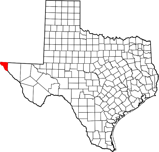
English: This is a locator map showing El Paso County in West Texas.
|
| Datum | |
| Quelle |
Eigenes Werk: English: The maps use data from nationalatlas.gov, specifically countyp020.tar.gz on the Raw Data Download page. The maps also use state outline data from statesp020.tar.gz. The Florida maps use hydrogm020.tar.gz to display Lake Okeechobee. |
| Urheber | David Benbennick |
Lizenz
| Ich, der Urheberrechtsinhaber dieses Werkes, veröffentliche es als gemeinfrei. Dies gilt weltweit. In manchen Staaten könnte dies rechtlich nicht möglich sein. Sofern dies der Fall ist: Ich gewähre jedem das bedingungslose Recht, dieses Werk für jedweden Zweck zu nutzen, es sei denn, Bedingungen sind gesetzlich erforderlich. |
Dateiversionen
Klicke auf einen Zeitpunkt, um diese Version zu laden.
| Version vom | Vorschaubild | Maße | Benutzer | Kommentar | |
|---|---|---|---|---|---|
| aktuell | 18:52, 12. Feb. 2006 | | 12.473 × 11.855 (304 KB) | David Benbennick | {{subst:User:Dbenbenn/clm|county=El Paso County|state=Texas|type=county}} |
Dateiverwendung
Die folgenden 10 Seiten verwenden diese Datei:
Globale Dateiverwendung
Die nachfolgenden anderen Wikis verwenden diese Datei:
- Verwendung auf ar.wikipedia.org
- Verwendung auf be.wikipedia.org
- Verwendung auf bg.wikipedia.org
- Verwendung auf bpy.wikipedia.org
- Verwendung auf cdo.wikipedia.org
- Verwendung auf ceb.wikipedia.org
- Verwendung auf cs.wikipedia.org
- Verwendung auf cy.wikipedia.org
- Verwendung auf en.wikipedia.org
- List of counties in Texas
- El Paso County, Texas
- Agua Dulce, El Paso County, Texas
- Anthony, Texas
- Butterfield, Texas
- Canutillo, Texas
- Clint, Texas
- El Paso, Texas
- Fabens, Texas
- Fort Bliss
- Homestead Meadows North, Texas
- Homestead Meadows South, Texas
- Horizon City, Texas
- Morning Glory, Texas
- Prado Verde, Texas
- San Elizario, Texas
- Socorro, Texas
- Sparks, Texas
- Tornillo, Texas
- Vinton, Texas
- Westway, Texas
- Newman, Texas
- Ysleta del Sur Pueblo
- Franklin Mountains (Texas)
- Texas Senate, District 33
- Central El Paso
- East El Paso
- Mission Valley (El Paso)
- Captain John L. Chapin High School
- Hueco Mountains
- North Hills, El Paso, Texas
Weitere globale Verwendungen dieser Datei anschauen.