Datei:Mexico Tlaxcala location map.svg
Zur Navigation springen
Zur Suche springen

Größe der PNG-Vorschau dieser SVG-Datei: 800 × 491 Pixel. Weitere aus SVG automatisch erzeugte PNG-Grafiken in verschiedenen Auflösungen: 320 × 196 Pixel | 640 × 393 Pixel | 1.024 × 628 Pixel | 1.280 × 785 Pixel | 2.560 × 1.570 Pixel | 4.066 × 2.494 Pixel
Originaldatei (SVG-Datei, Basisgröße: 4.066 × 2.494 Pixel, Dateigröße: 438 KB)
![]()
Diese Datei und die Informationen unter dem roten Trennstrich werden aus dem zentralen Medienarchiv Wikimedia Commons eingebunden.
![]()
W3C-validity not checked.
| Beschreibung |
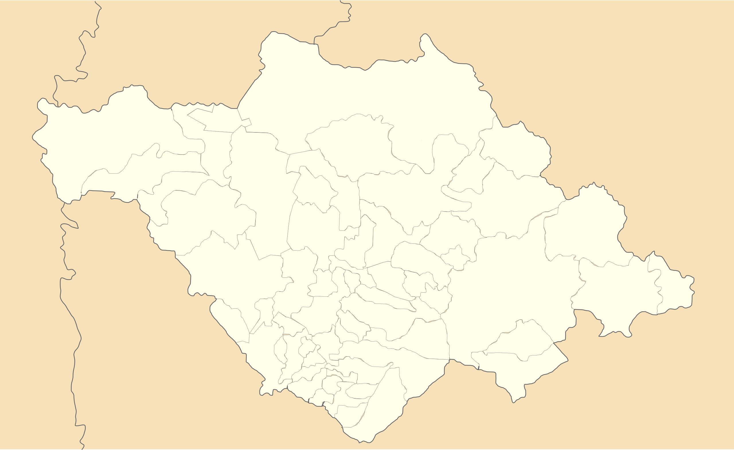
Location Map of en:Tlaxcala Equirectangular projection, Geographic limits of the map:
|
| Datum | |
| Quelle | Eigenes Werk |
| Urheber | Battroid (talk) |
Ich, der Urheber dieses Werkes, veröffentliche es unter der folgenden Lizenz:
| Ich, der Urheberrechtsinhaber dieses Werkes, veröffentliche es als gemeinfrei. Dies gilt weltweit. In manchen Staaten könnte dies rechtlich nicht möglich sein. Sofern dies der Fall ist: Ich gewähre jedem das bedingungslose Recht, dieses Werk für jedweden Zweck zu nutzen, es sei denn, Bedingungen sind gesetzlich erforderlich. |
Dateiversionen
Klicke auf einen Zeitpunkt, um diese Version zu laden.
| Version vom | Vorschaubild | Maße | Benutzer | Kommentar | |
|---|---|---|---|---|---|
| aktuell | 23:00, 20. Nov. 2011 | | 4.066 × 2.494 (438 KB) | Battroid | {{ValidSVG}} {{Information |Description=Location Map of en:Tlaxcala Equirectangular projection, Geographic limits of the map: * N: 19.774° N * S: 19.09° N * W: 98.76° W * E: 97.579° W |Source={{own work}} |Date=2011-11-20 |Author=[[User:Battroid| |
Dateiverwendung
Die folgenden 6 Seiten verwenden diese Datei:
Globale Dateiverwendung
Die nachfolgenden anderen Wikis verwenden diese Datei:
- Verwendung auf ar.wikipedia.org
- Verwendung auf bg.wikipedia.org
- Verwendung auf ceb.wikipedia.org
- Verwendung auf ce.wikipedia.org
- Verwendung auf en.wikipedia.org
- Huamantla
- Malinche (volcano)
- Ocotlán, Tlaxcala
- Tlaxcala Municipality
- Zacatelco
- Module:Location map/data/Mexico Tlaxcala/doc
- San José Xicohténcatl
- Module:Location map/data/Mexico Tlaxcala
- Atlangatepec Air Force Station
- 2011–12 Tercera División de México season
- 2010–11 Tercera División de México season
- Verwendung auf eo.wikipedia.org
- Verwendung auf es.wikipedia.org
- Verwendung auf fa.wikipedia.org
- Verwendung auf he.wikipedia.org
- Verwendung auf hu.wikipedia.org
- Verwendung auf ia.wikipedia.org
- Verwendung auf ja.wikipedia.org
- Verwendung auf kbd.wikipedia.org
- Verwendung auf pl.wikipedia.org
Weitere globale Verwendungen dieser Datei anschauen.