Datei:NATO and the Warsaw Pact 1973.svg
Zur Navigation springen
Zur Suche springen

Größe der PNG-Vorschau dieser SVG-Datei: 450 × 456 Pixel. Weitere aus SVG automatisch erzeugte PNG-Grafiken in verschiedenen Auflösungen: 237 × 240 Pixel | 474 × 480 Pixel | 758 × 768 Pixel | 1.011 × 1.024 Pixel | 2.021 × 2.048 Pixel
Originaldatei (SVG-Datei, Basisgröße: 450 × 456 Pixel, Dateigröße: 478 KB)
![]()
Diese Datei und die Informationen unter dem roten Trennstrich werden aus dem zentralen Medienarchiv Wikimedia Commons eingebunden.
![]()
Beschreibung


.svg)
.svg)
.svg)
.svg)
.svg)


.svg)
.svg)
.svg)


.png)
.png)


.svg)


.svg)

.svg)


.svg)
.svg)
.svg)
.svg)


.svg)
.png)


.svg)


.svg)
.svg)


.svg)


.svg)


.svg)
.svg)
.svg)
.svg)
.svg)
.svg)
.svg)
_cropped.svg)
.svg)
.svg)
.svg)
.svg)
.svg)
.svg)
.svg)
.svg)
.svg)
.svg)
.svg)
.svg)
.svg)
.svg)
.svg)
.svg)
.svg)
.svg)
.svg)
.svg)
.svg)
.svg)
.svg)
.svg)
.svg)
.svg)
.svg)
.svg)
.svg)
.svg)
.svg)
.svg)
.svg)
.svg)
.svg)
.svg)
.svg)
.svg)
.svg)
.svg)
.svg)
.svg)
.svg)
.svg)
.svg)
Lizenz
Ich, der Urheber dieses Werkes, veröffentliche es unter der folgenden Lizenz:
Diese Datei ist unter der Creative-Commons-Lizenz „Namensnennung – Weitergabe unter gleichen Bedingungen 3.0 nicht portiert“ lizenziert.
- Dieses Werk darf von dir
- verbreitet werden – vervielfältigt, verbreitet und öffentlich zugänglich gemacht werden
- neu zusammengestellt werden – abgewandelt und bearbeitet werden
- Zu den folgenden Bedingungen:
- Namensnennung – Du musst angemessene Urheber- und Rechteangaben machen, einen Link zur Lizenz beifügen und angeben, ob Änderungen vorgenommen wurden. Diese Angaben dürfen in jeder angemessenen Art und Weise gemacht werden, allerdings nicht so, dass der Eindruck entsteht, der Lizenzgeber unterstütze gerade dich oder deine Nutzung besonders.
- Weitergabe unter gleichen Bedingungen – Wenn du das Material wiedermischst, transformierst oder darauf aufbaust, musst du deine Beiträge unter der gleichen oder einer kompatiblen Lizenz wie das Original verbreiten.
Ursprüngliches Datei-Logbuch
This image is a derivative work of the following images:
- File:Blank_map_of_Europe_1956-1990.svg licensed with Cc-by-sa-3.0
- 2011-10-30T04:43:42Z Alphathon 450x456 (485146 Bytes) == {{int:filedesc}} == {{Information |Description={{en|Blank map of Europe showing national borders as they stood from 1956-1990.}} |Source=*[[:File:Blank_map_of_Europe.svg|]] |Date=2011-10-30 04:42 (UTC) |Author=*[[:File:Bla
Hochgeladen mit derivativeFX
Dateiversionen
Klicke auf einen Zeitpunkt, um diese Version zu laden.
| Version vom | Vorschaubild | Maße | Benutzer | Kommentar | |
|---|---|---|---|---|---|
| aktuell | 11:17, 22. Jul. 2022 | | 450 × 456 (478 KB) | Kwamikagami | change to NATO blue; Liecht. not a member |
| 08:43, 30. Jun. 2016 |  | 450 × 456 (477 KB) | FreshCorp619 | Reverted to version as of 18:32, 25 February 2012 (UTC) | |
| 08:42, 30. Jun. 2016 |  | 450 × 456 (728 KB) | FreshCorp619 | fixed errors | |
| 08:38, 30. Jun. 2016 |  | 450 × 456 (707 KB) | FreshCorp619 | Added Byelorussian and Ukrainian SSRs (UN Members) | |
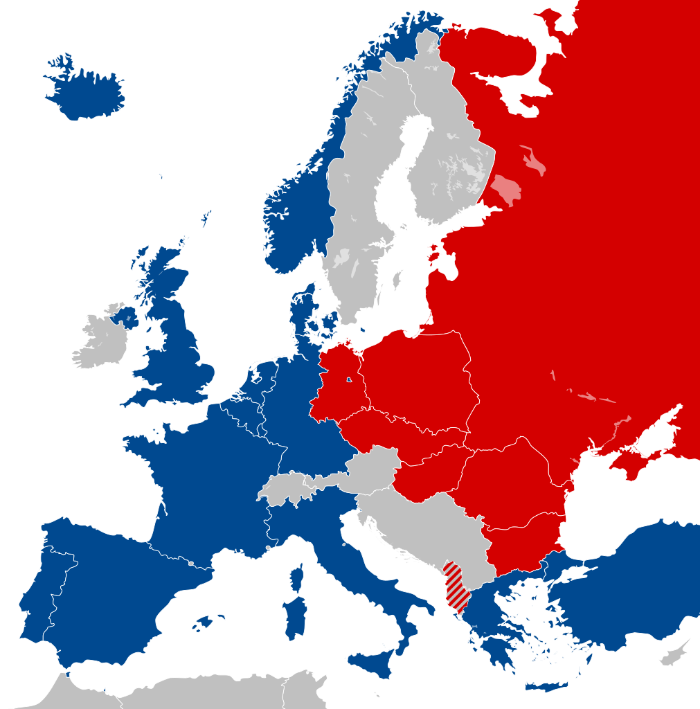
| 20:32, 25. Feb. 2012 |  | 450 × 456 (477 KB) | Alphathon | == {{int:filedesc}} == {{Information |Description={{en|Map of Europe showing NATO and the Warsaw Pact circa 1973.}} |Source={{Derived from|Blank_map_of_Europe_1956-1990.svg|display=50}} |Date=2012-02-25 18:31 (UTC) |Aut... |
Dateiverwendung
Die folgende Seite verwendet diese Datei:
Globale Dateiverwendung
Die nachfolgenden anderen Wikis verwenden diese Datei:
- Verwendung auf als.wikipedia.org
- Verwendung auf ar.wikipedia.org
- Verwendung auf ca.wikipedia.org
- Unió de Repúbliques Socialistes Soviètiques
- República Democràtica Alemanya
- República Socialista Federativa Soviètica de Rússia
- República Federal Socialista de Iugoslàvia
- Pacte de Varsòvia
- Consell d'Assistència Econòmica Mútua
- Bloc de l'Est
- República Popular d'Albània
- República Socialista de Romania
- República Democràtica de Finlàndia
- Història de la Unió Soviètica (1985-1991)
- Història de la Unió Soviètica (1953-1985)
- República Popular de Polònia
- Plantilla:Europa Oriental Comunista
- Història de la Unió Soviètica i la Rússia Soviètica (1917-1927)
- Economia de la Unió Soviètica
- Doctrina Bréjnev
- República Popular d'Hongria
- República Popular de Bulgària
- República Socialista Txecoslovaca
- Ampliació de la Unió Europea de 2004
- Verwendung auf el.wikipedia.org
- Verwendung auf en.wikipedia.org
- History of the Soviet Union (1982–1991)
- East Germany
- Warsaw Pact
- History of Soviet Russia and the Soviet Union (1917–1927)
- Byelorussian Soviet Socialist Republic
- History of the Soviet Union (1953–1964)
- Socialist Republic of Romania
- Democratic Federal Yugoslavia
- Socialist Federal Republic of Yugoslavia
- Polish People's Republic
- Ukrainian Soviet Socialist Republic
- History of Czechoslovakia (1948–1989)
- History of the Soviet Union (1927–1953)
- History of Poland (1945–1989)
- Czechoslovak Socialist Republic
- Template:Communist Eastern and Central Europe
- People's Republic of Bulgaria
- Hungarian People's Republic
- History of East Germany
- People's Socialist Republic of Albania
- History of the Soviet Union (1964–1982)
- User:Peterstrempel/Soviet-Brezhnev-draft
- History of the Soviet Union
- History of NATO
- User:Y-S.Ko/Wikipedia course/History
- User:Falcaorib
Weitere globale Verwendungen dieser Datei anschauen.