Datei:NL osm Zuid.png
Originaldatei (1.253 × 817 Pixel, Dateigröße: 576 KB, MIME-Typ: image/png)
![]()
Diese Datei und die Informationen unter dem roten Trennstrich werden aus dem zentralen Medienarchiv Wikimedia Commons eingebunden.
![]()
Beschreibung
| Beschreibung |
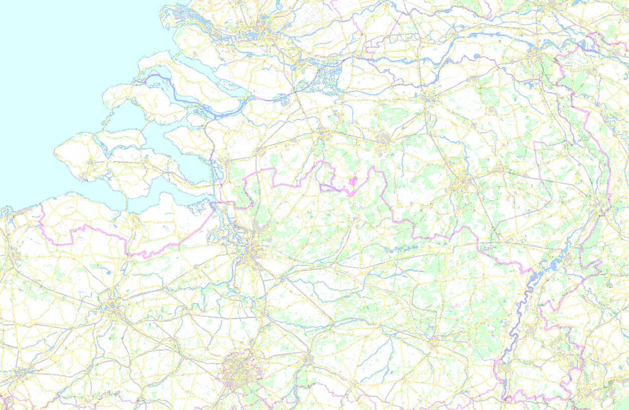
Extent: 50.7182363°N to 52.003592°N, 3.1619282°E to 6.3166982°E English: Location map for the southern regions of the Netherlands Deutsch: Positionskarte für die südlich von Nederrijn und Lek gelegenen Gebiete der Niederlande |
|||||||||||||||
| Datum | ||||||||||||||||
| Quelle |
|
|||||||||||||||
| Urheber | Ulamm (Diskussion) |
Dateiversionen
Klicke auf einen Zeitpunkt, um diese Version zu laden.
| Version vom | Vorschaubild | Maße | Benutzer | Kommentar | |
|---|---|---|---|---|---|
| aktuell | 23:08, 25. Jul. 2019 | | 1.253 × 817 (576 KB) | Ulamm | {{Information |Description={{en|Location map for the southern regions of the Netherlands}}{{de|Positionskarte für die südlich von Nederrijn und Lek gelegenen Gebiete der Niederlande}} |Source={{openstreetmap}} |Date=2019-07-25 |Author=~~~ |Permission= |other_versions= }} Category:Maps of the Netherlands Category:Location maps of the Netherlands Category:Location maps by continent |
Dateiverwendung
Die folgenden 2 Seiten verwenden diese Datei: