Datei:Texas and Pacific Railway Shortest Line to the Great Cotton, Grain and Stock Regions of Texas 1878 UTA.jpg
Zur Navigation springen
Zur Suche springen

Größe dieser Vorschau: 653 × 600 Pixel. Weitere Auflösungen: 261 × 240 Pixel | 523 × 480 Pixel | 836 × 768 Pixel | 1.115 × 1.024 Pixel | 2.230 × 2.048 Pixel | 2.927 × 2.688 Pixel
Originaldatei (2.927 × 2.688 Pixel, Dateigröße: 1,86 MB, MIME-Typ: image/jpeg)
![]()
Diese Datei und die Informationen unter dem roten Trennstrich werden aus dem zentralen Medienarchiv Wikimedia Commons eingebunden.
![]()
Beschreibung
| Titel |
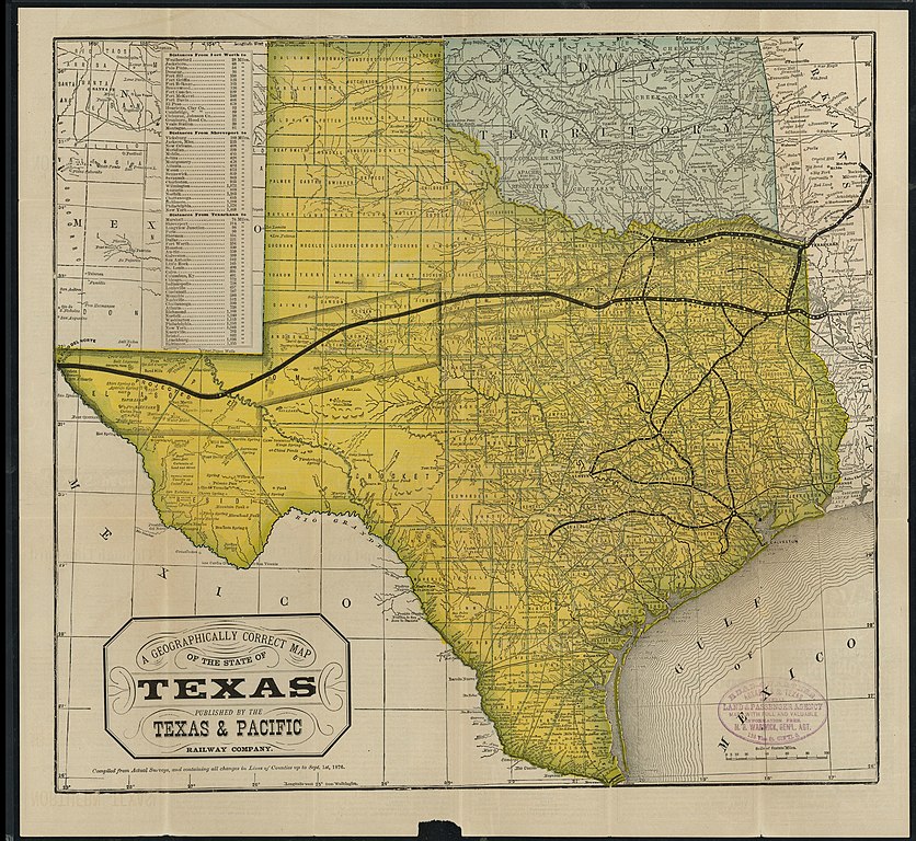
English: A Geographically Correct Map of the State of Texas |
||||||||||||||||||||||||||
| Datum | |||||||||||||||||||||||||||
| Quelle | UTA Libraries Cartographic Connections: Karte / Text | ||||||||||||||||||||||||||
| Urheber |
Autor/-in unbekannt |
||||||||||||||||||||||||||
| Anerkennung |
English: The University of Texas at Arlington Libraries Special Collections |
||||||||||||||||||||||||||
| Kartografische Angaben | |||||||||||||||||||||||||||
| Ortsbezug | Texas | ||||||||||||||||||||||||||
| Georeferenzierung | If inappropriate please set warp_status = skip to hide. | ||||||||||||||||||||||||||
| Bibliographische Angaben | |||||||||||||||||||||||||||
| Erscheinungsort | St. Louis | ||||||||||||||||||||||||||
| Verleger |
Woodward, Tiernan & Hale (for the Texas & Pacific Railway Company) |
||||||||||||||||||||||||||
| Archivalische Angaben | |||||||||||||||||||||||||||
| Sammlung |
|
||||||||||||||||||||||||||
Lizenz

|
This file was provided to Wikimedia Commons by the University of Texas at Arlington Libraries as part of a cooperation project. The University of Texas at Arlington Libraries is part of the University of Texas at Arlington, a public research university located in Arlington, Texas.
|
Dieses Werk wurde vor dem 1. Januar 1929 veröffentlicht und ist anonym oder pseudonym wegen unbekannter Urheberschaft. Es ist in den Vereinigten Staaten sowie in Ländern und Gebieten mit einer Schutzfrist für anonyme oder pseudonyme Werke von 95 Jahren oder weniger nach der Veröffentlichung gemeinfrei.
|
Dateiversionen
Klicke auf einen Zeitpunkt, um diese Version zu laden.
| Version vom | Vorschaubild | Maße | Benutzer | Kommentar | |
|---|---|---|---|---|---|
| aktuell | 22:06, 2. Apr. 2022 | | 2.927 × 2.688 (1,86 MB) | Michael Barera | == {{int:filedesc}} == {{Map |title = {{en|'''''A Geographically Correct Map of the State of Texas'''''}} |description = |legend = |author = {{Unknown|author}} |date = 1878 |source = UTA Libraries ''Cartographic Connections'': [https://libguides.uta.edu/ld.php?content_id=931877 {{I18n/map}}] / [https://libguides.uta.edu/ccon {{I18n/text}}] |permission = |map date = |location = {{Texas}} |projec... |
Dateiverwendung
Die folgende Seite verwendet diese Datei:
Globale Dateiverwendung
Die nachfolgenden anderen Wikis verwenden diese Datei:
- Verwendung auf en.wikipedia.org
- Verwendung auf fr.wikipedia.org
- Verwendung auf it.wikipedia.org