Datei:Weddell-Island-Map.png
Zur Navigation springen
Zur Suche springen

Größe dieser Vorschau: 560 × 600 Pixel. Weitere Auflösungen: 224 × 240 Pixel | 588 × 630 Pixel
Originaldatei (588 × 630 Pixel, Dateigröße: 245 KB, MIME-Typ: image/png)
![]()
Diese Datei und die Informationen unter dem roten Trennstrich werden aus dem zentralen Medienarchiv Wikimedia Commons eingebunden.
![]()
Beschreibung
| Beschreibung |
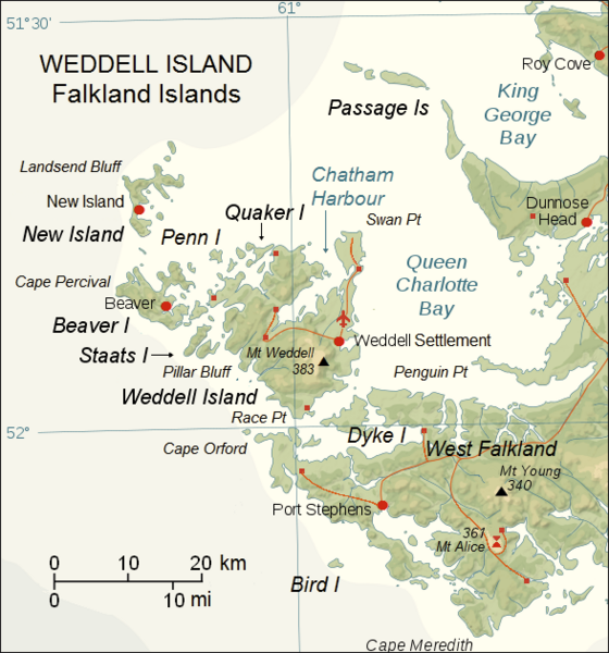
English: Upgraded topographic map of Weddell Island area, Falkland Islands |
| Datum | |
| Quelle | File:Falkland Islands topographic map-en.svg |
| Urheber | Eric Gaba (Sting), fragment revised by Apcbg |
| Kameraposition | | Dieses und weitere Bilder auf OpenStreetMap |
|---|
Lizenz
Diese Datei ist unter der Creative-Commons-Lizenz „Namensnennung – Weitergabe unter gleichen Bedingungen 3.0 nicht portiert“ lizenziert.
- Dieses Werk darf von dir
- verbreitet werden – vervielfältigt, verbreitet und öffentlich zugänglich gemacht werden
- neu zusammengestellt werden – abgewandelt und bearbeitet werden
- Zu den folgenden Bedingungen:
- Namensnennung – Du musst angemessene Urheber- und Rechteangaben machen, einen Link zur Lizenz beifügen und angeben, ob Änderungen vorgenommen wurden. Diese Angaben dürfen in jeder angemessenen Art und Weise gemacht werden, allerdings nicht so, dass der Eindruck entsteht, der Lizenzgeber unterstütze gerade dich oder deine Nutzung besonders.
- Weitergabe unter gleichen Bedingungen – Wenn du das Material wiedermischst, transformierst oder darauf aufbaust, musst du deine Beiträge unter der gleichen oder einer kompatiblen Lizenz wie das Original verbreiten.
Dateiversionen
Klicke auf einen Zeitpunkt, um diese Version zu laden.
| Version vom | Vorschaubild | Maße | Benutzer | Kommentar | |
|---|---|---|---|---|---|
| aktuell | 09:45, 23. Mai 2018 | | 588 × 630 (245 KB) | Apcbg | details |
| 13:53, 7. Mai 2018 |  | 588 × 630 (190 KB) | Apcbg | detail | |
| 12:15, 27. Apr. 2018 |  | 588 × 630 (244 KB) | Apcbg | detail | |
| 09:15, 27. Apr. 2018 |  | 588 × 630 (244 KB) | Apcbg | detail | |
| 14:21, 20. Apr. 2018 |  | 588 × 630 (244 KB) | Apcbg | detail | |
| 09:50, 20. Apr. 2018 |  | 588 × 630 (244 KB) | Apcbg | details | |
| 08:44, 20. Apr. 2018 |  | 588 × 630 (244 KB) | Apcbg | detail | |
| 20:21, 18. Apr. 2018 |  | 588 × 630 (190 KB) | Apcbg | colour | |
| 11:46, 19. Mär. 2018 |  | 588 × 630 (243 KB) | Apcbg | detail | |
| 10:39, 19. Mär. 2018 |  | 588 × 630 (242 KB) | Apcbg | details |
Dateiverwendung
Die folgenden 2 Seiten verwenden diese Datei:
Globale Dateiverwendung
Die nachfolgenden anderen Wikis verwenden diese Datei:
- Verwendung auf en.wikipedia.org
- Weddell Island
- Horse Block
- Race Point
- Swan Point, Weddell Island
- Weddell Settlement
- Mount Weddell
- Pillar Bluff
- Chatham Harbour, Weddell Island
- French Harbour
- Weddell Point, Weddell Island
- Gull Harbour
- Quaker Harbour
- Loop Head, Weddell Island
- New Year Cove
- Smylie Channel
- Hotham Heights
- Pitt Heights
- Mount Alice (Falkland Islands)
- Circum Peak
- Verwendung auf fr.wikipedia.org
- Verwendung auf www.wikidata.org